The Ōtara catchment was once a forested and abundant mahinga kai supporting clean water filled with native fish and used by mana whenua for drinking, food gathering, transport and customary practices.
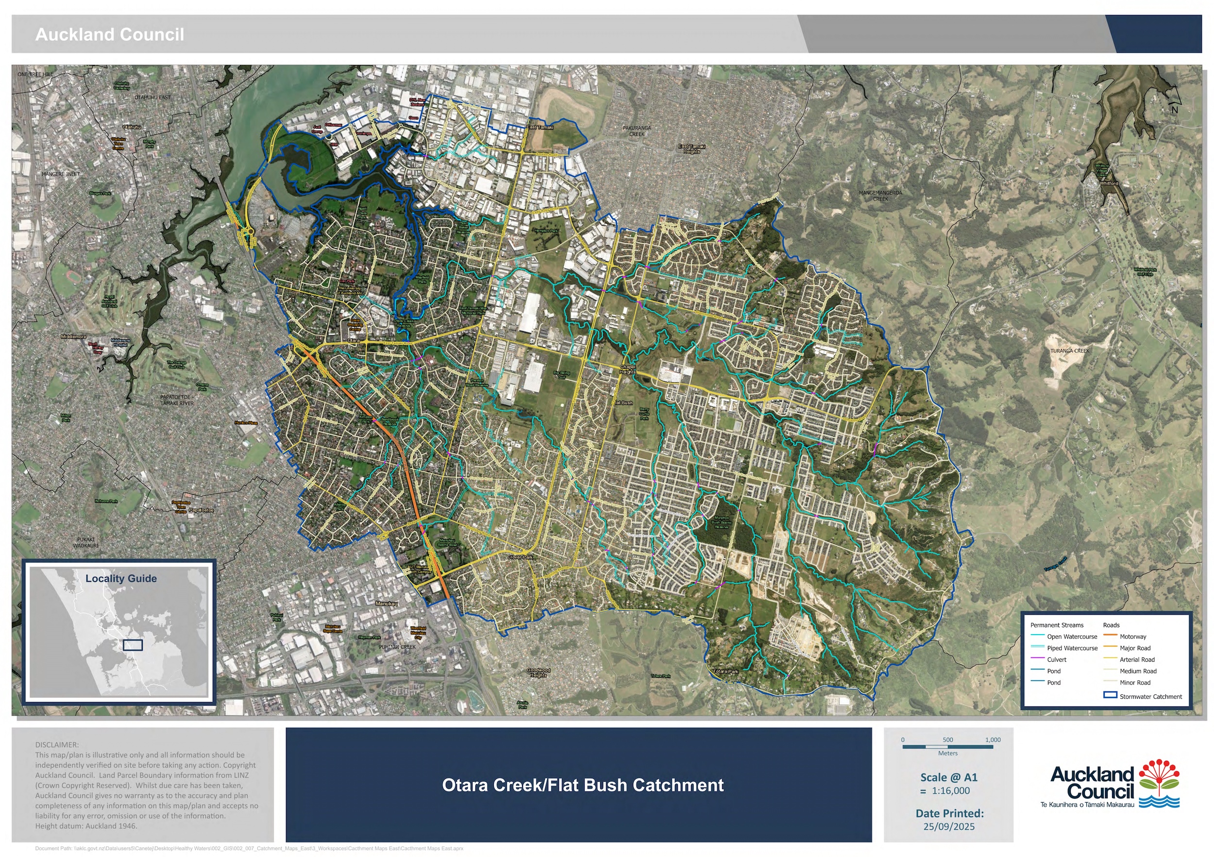
Although it is easy to miss, there are 196.7km of open waterways that run downhill from Redoubt Road. These tributaries carry around 45 billion litres of rainfall across the neighbourhoods of Flat Bush, Ormiston and Ōtara finally feeding into Ōtara Lake, a man-made tidal arm of the Tāmaki Estuary.
But within a single generation, the community lost the ability to fish, swim and enjoy themselves in and around our streams and lakes.
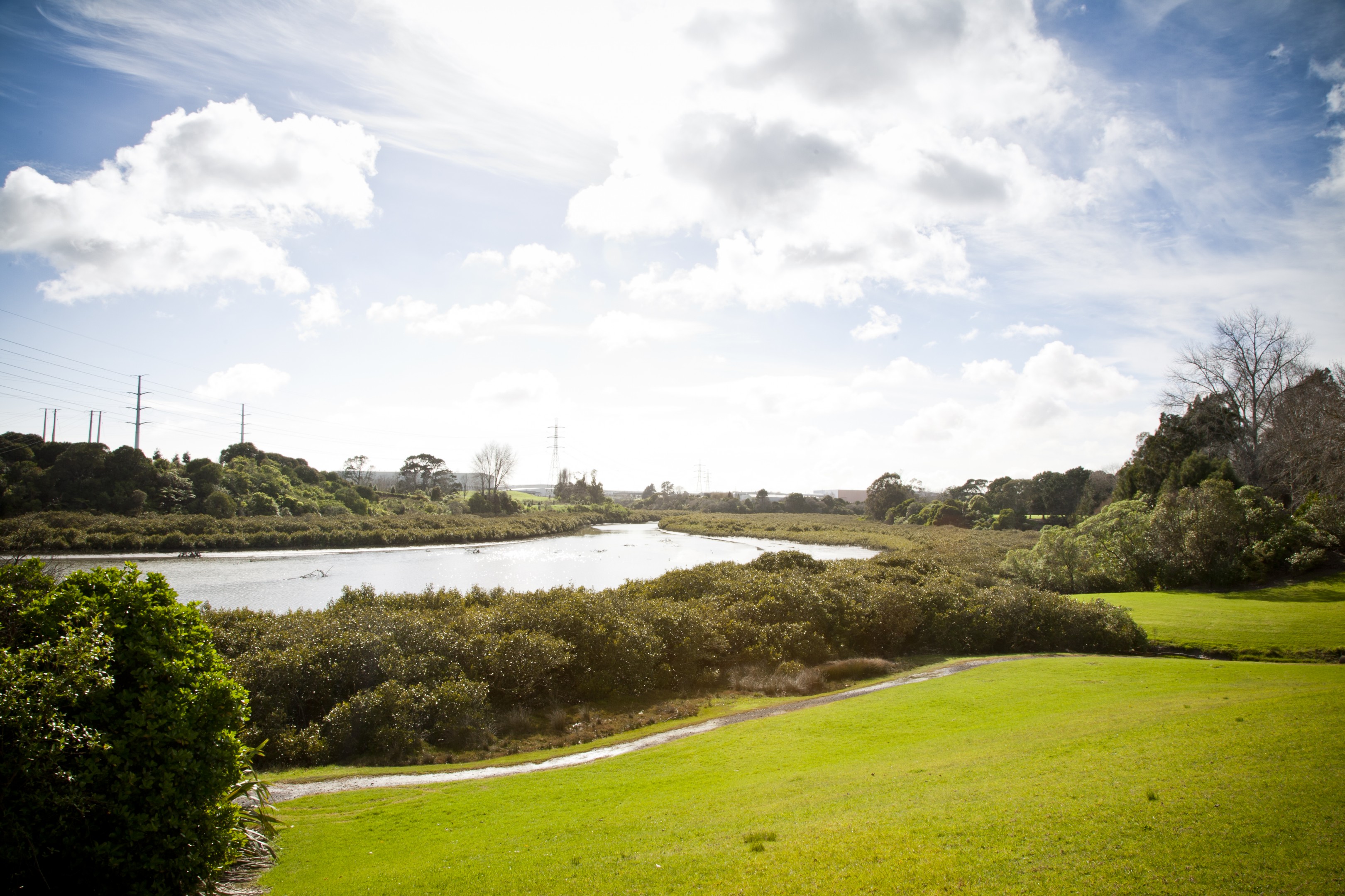
Left: Ōtara Lake. Right: Salford Park
Within the last 50 years, the health of Ōtara waterways and lake have suffered from urbanisation, land development and habitat loss. The area has transformed significantly and now records the second lowest tree canopy cover and some of the worst water quality readings in Tāmaki Makaurau. Flooding is a growing challenge for our residents as climate change causes unpredictable storm events. These challenges are also accompanied by a loss of connection to our awa and roto.
Today our catchment is home to tens of thousands of people and accommodates a wide range of housing, commercial, industrial land-uses. The catchment spans 3,477 hectares between the Ōtara-Papatoetoe and Howick Local Board areas. The population is young and ethnically and culturally diverse. The whenua and wai remain woven into the identity and belonging of mana whenua, and their role as kaitiaki is acknowledged and respected.
Te mauri o te rangi; te mauri o te whenua; te mauri ora o Tara. When the lake, waterways and wildlife flourish, the people will flourish. This whakatauki shows how everything is connected. By working across the entire catchment, we can ensure that the environment and our wellbeing are safeguarded for the future.
The Trust’s work is divided into three zones and takes a top-down approach, tackling issues at the source before they become larger issues downstream.
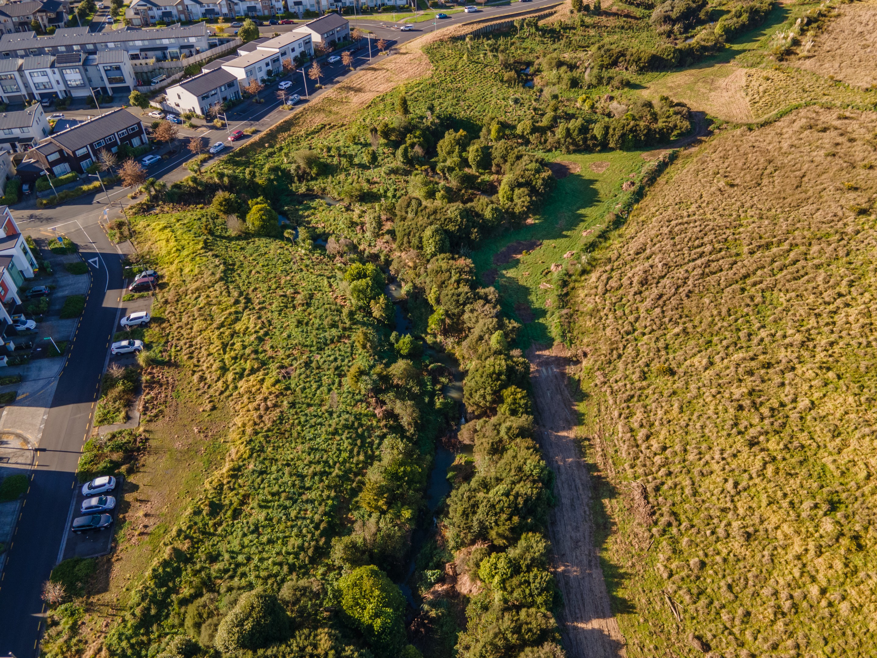
The upper catchment located in Flat Bush and Ormiston integrates 45km of ‘green finger’ stream and gullies into the urban environment. These networks maintain important habitats and migratory paths for native fish including banded kōkopu. The area is diverse: recent migrants from China and India make up a large portion of the population. Historic land use and more recent urban development have significantly modified the landscape, contributing to erosion, sediment runoff and pressure on stream health.

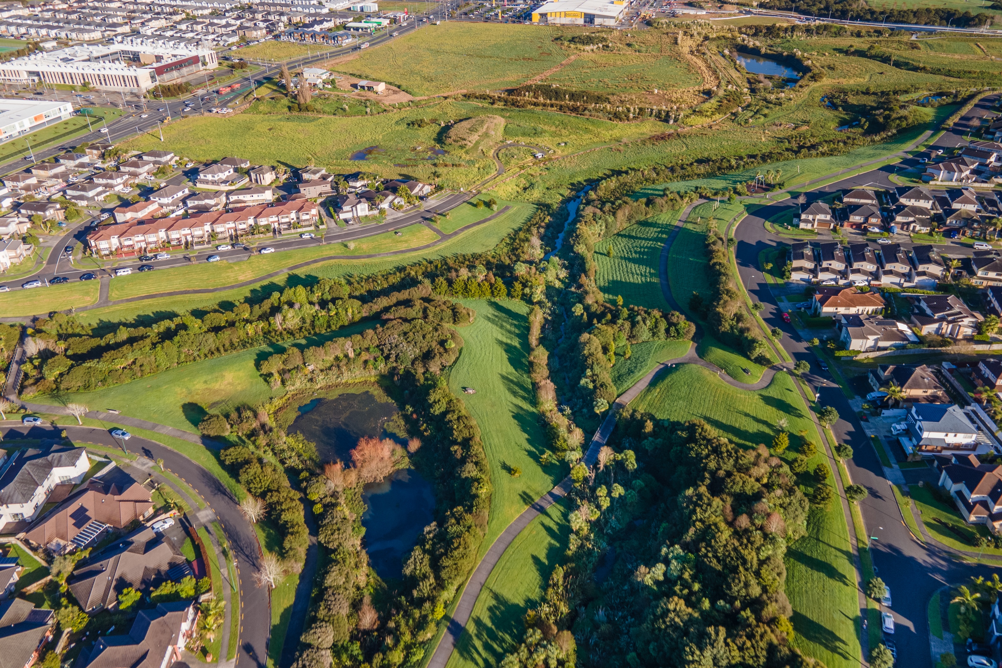
Aerial view of Haddington Drive stream restoration area, 2021 (left) and 2023 (right)
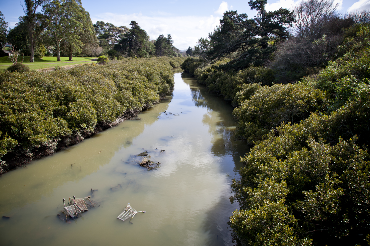
The mid catchment is most heavily impacted. It encompasses Ōtara and parts of Papatoetoe and East Tāmaki Business District. The loss of permeable surfaces due to urban development have contributed to extreme flooding, while concreted waterways have increased water temperatures. Significant pollution from illegal dumping and stormwater runoff have further degraded water quality. This has a disproportionate impact upon the catchment’s predominantly Māori and Pasifika communities who already face social and economic hardships.

.jpg)
Left: North-facing view of wetlands surrounding Taraire Creek (Te Irirangi Reserve), June 2023, photo by Vasemaca Tavola. Right: Springs Road Reserve
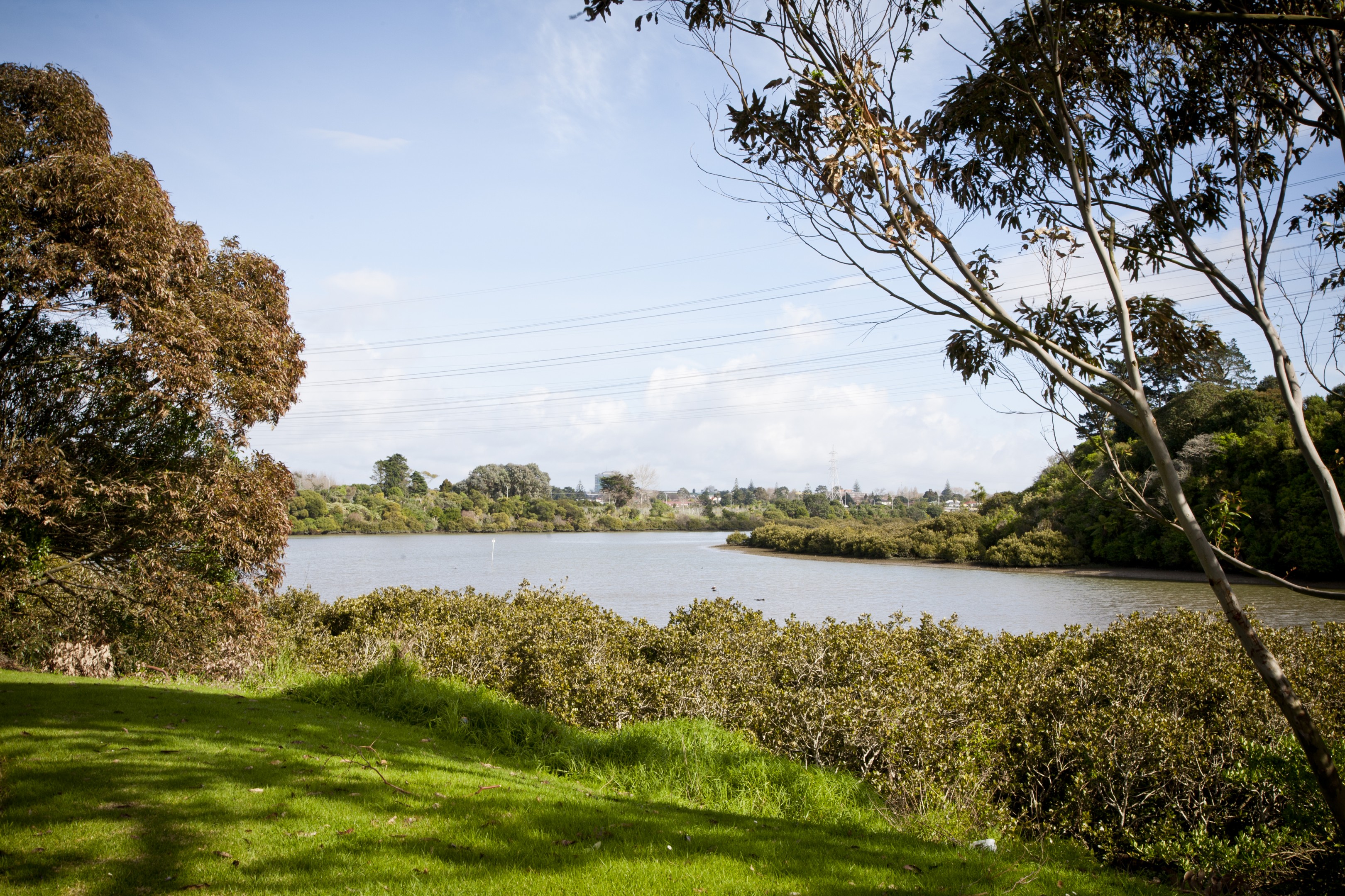
The lower lake catchment receives all these water sources and has seen high levels of contamination by toxins, metals and E. coli. It is surrounded by a mix of industrial, commercial, and recreational land uses, including the Highbrook Business Park and Ngāti Ōtara Park, a former landfill. Ōtara Lake was formed in 1968 when a weir was built to provide a reservoir of cool water for the Ōtahuhu Power Station. Drastic changes to the environment and tidal patterns have resulted in sedimentation and the expansion of mangroves.
Left: Ōtara Lake. Right: Ōtara Creek